Subscribe to our daily newsletter

Data reveals scope, damage of spring floods in Quebec and New Brunswick

May 19, 2019 | 9:40 AM

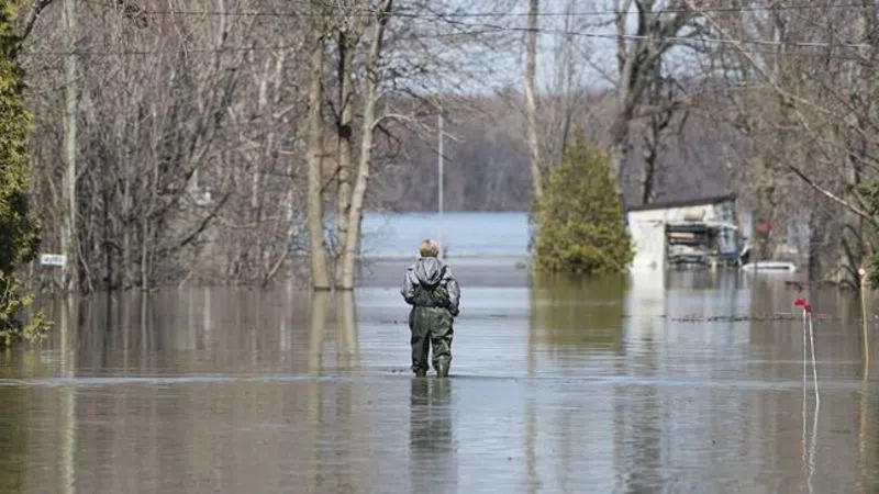
New data from Statistics Canada is revealing the scale and scope of this spring’s devastating flooding in Quebec, Manitoba and New Brunswick.

More than 600 square kilometres of land suffered flooding this year, according to maps created by Statistics Canada, which used satellite data from the Canadian Space Agency and information from Natural Resources Canada.

The data gathered over the last two weeks of April was used to take a closer look at southern Manitoba, the Fredericton-Saint John area in New Brunswick, the Ottawa-Gatineau region and Ste-Marthe-sur-le-Lac, northwest of Montreal.

The agency reported Friday about 17,500 homes in the affected areas were either hit by flooding or considered at risk.

About 153 square kilometres of agricultural land flooded — much of it in Manitoba — which could have an impact on the 2019 growing season. The data also indicated some 460 kilometres of roadways were either washed out or cut off by rising rivers.

Some municipalities were harder hit than others this spring — particularly in Quebec and New Brunswick. Parts of Ontario and Quebec have yet to see a reprieve from flooding.

About 29 per cent of homes were flooded or at risk of flooding in Pontiac, Que., about 45 kilometres west of Ottawa. In Ste-Marthe-sur-le-Lac, northwest of Montreal, 25 per cent of residences were hit by flooding or at risk.

The agency said it intends to put together more reports on the 2019 floods as more information becomes available.

Statistics Canada spokesman Fabrice Mosseray said, “the rational for producing such data is to contribute to public understanding of, and discussion on, the impact of such events to Canadians, and how to improve response in future events.”

The Canadian Press


View Comments