Sign up for the northeastNOW newsletter
(File photo/northeastNOW staff)
First Snowfall

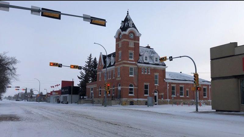
Snow on the way for the northeast

Nov 9, 2021 | 2:30 PM

The northeast is expecting its first major snowfall and it could be sticking around for a while.

Environment Canada has issued a special weather statement that includes snow with a risk of freezing rain Tuesday night through Wednesday.

Meteorologist Terri Lang said the weather system is moving in from Alberta.

“It’s sort of a hybrid Alberta clipper,” Lang said. “The snow will start probably after midnight in the Melfort area, the temperatures will be running below zero by then so I believe it will start as snow and continue as snow.”

The snow is expected to slowly taper off Wednesday night and into Thursday morning and because temperatures will be really close to freezing, it will most likely stick.

Winds will be gusting from the east at 20 km/hr to 40 km/hr through the day so we can also expect swirling and drifting snow on the highways.

“This is quite a change we are coming into; we have had a very mild fall and very little in the way of precipitation, so I think this is going to come as a bit of a shock,” Lang said.

Upwards of 20 centimetres of snow is in the forecast and people should take a bit of time today to prepare.

“Things like making sure the snow tires are on the car, emergency kit is in the car, dig out the kids snow boots, finding shovels so you aren’t caught empty handed,” Lang said.

With this system being on the nastier side, It is a good idea to check the highway hotline before venturing out on the roads.

Some cooler air will be moving in and overnight this weekend will be dipping down to the -15 C mark. The long-range pattern is showing another warm-up for next week.

angie.rolheiser@pattisonmedia.com

On Twitter: @Angie_Rolheiser

View Comments