Sign up for the northeastNOW newsletter

Supporting the Saskatchewan’s Fusarium Head Blight tool

Mar 28, 2024 | 12:00 PM

Several organizations are involved in a project offering free public access to a mapping tool that shows the level of risk for Fusarium head blight (FHB) disease in wheat, durum and barley.

The University of Manitoba (U of M) is in partnership with Alberta Grains, Saskatchewan Wheat Development Commission, Saskatchewan Barley Development Commission, Manitoba Crop Alliance (MCA) and the provincial governments of Alberta, Saskatchewan, and Manitoba.

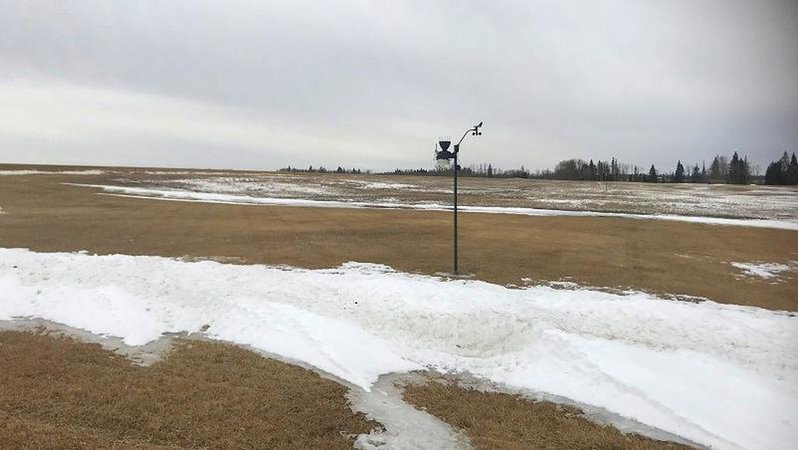
From May 15 to Aug. 31, the site uses free, publicly available weather data from over 500 weather stations across the prairies to calculate the risk of FHB and generate the risk maps. This includes air temperature, relative humidity, and rainfall preceding the time of flowering.

A priority now is to increase the number of stations available to the risk mapping tool in Saskatchewan.

To provide additional data, farmers are being asked to allow data from their personal Pessl/Metos weather station to contribute to the FHB model. Metos Canada Inc. is Ag Data Transparent which means permission is needed to transfer data to the FHB risk mapping tool.

There have also been 25 areas identified in Saskatchewan where the installation of a weather station would help to fill a gap in the current network. All of the locations are within range of the network coverage needed for real time transmission of weather data to the risk mapping tool.

A total of 25 free weather stations are needed in the following areas:

  • eight miles northeast of Oxbow
  • five miles southeast of Forget
  • 10 miles east of Francis
  • 13 miles west-southwest of Bengough (between Willow Bunch and Willow Bunch Lake)
  • three miles northeast of Edenwold
  • 19 miles west-northwest of Melville
  • 10 miles southwest of Bredenbury
  • 11 miles north-northwest of Canora (between Tadmore and Amsterdam)
  • seven miles southwest of Sheho
  • 12 miles south-southwest of Humboldt
  • five miles west of Fosston
  • 14 miles west of Archerwill
  • four miles southwest of Wakaw
  • nine miles north of Tisdale
  • eight miles east-southeast of Prince Albert (near Stanleyville)
  • 10 miles west-southwest of Blaine Lake (near Krydor)
  • four miles northwest of Turtleford
  • three miles west of Cutknife
  • 22 miles northeast of Biggar (near Struan)
  • seven miles south of Biggar
  • 14 miles northeast of Hanley
  • three miles northwest of Eston
  • seven miles northeast of Chaplin
  • five miles south-southwest of Hodgeville
  • 15 miles northwest of Swift Current (near Success)

If you are a land owner within five miles of any of these locations, email your contact information, land description and a request to be considered for one of the sponsored stations to Paul.Bullock@umanitoba.ca.

The rural landowners that are selected will be contacted and receive a free weather station for three years.

alice.mcfarlane@pattisonmedia.com

On X: @farmnewsNOW