Subscribe to our daily newsletter
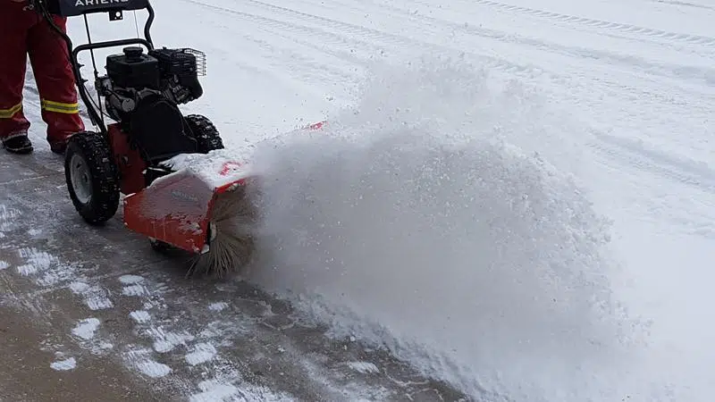
(File photo/northeastNOW Staff)
Snowy Start to April

A snowy start to April for many northeast communities

Apr 1, 2020 | 12:16 PM

It’s no April Fool’s Joke – we can expect more snow in the northeast today.

Snowfall totals will vary throughout the region, with eastern areas expecting more after all is said and done.

Environment and Climate Change Meteorologist Terri Lang told northeastNOW the system will move along the Saskatchewan/Manitoba border.

“Areas closest to the Manitoba border will be hardest hit by this, that’s why there [are] snowfall warnings out,” Lang said. “As you go further west from the border, then snowfall amounts really taper off quite a bit.”


Melfort, Tisdale and Nipawin are forecast to receive upwards of 10 centimetres of snow into tomorrow. However, Lang said the totals could vary significantly throughout the northeast.

“The Melfort region is a big region, so those on the more eastern side of the region should expect more snow,” Lang said.

She said Melfort could see upwards of 5 cm, but Nipawin will likely receive more. The town of Hudson Bay is under a Snowfall Warning, as they could see 15 to 25 cm of snow through tonight.

Lang said those travelling to eastern Saskatchewan today should be prepared for winter driving conditions, with heavy snow expected.

There will be some blowing and drifting snow as the wind picks up slightly, but Lang said it shouldn’t be as windy as the last couple of storm systems.

Further complicating the issue is the freezing rain that fell in some areas yesterday.

“That layer of ice is still sitting underneath that snow, so people should be aware of that as well,” Lang said.

The colder-than-normal temperatures will also continue through the remainder of the week.

The average daytime high in Melfort this time of year is 4 C, while the overnight lows are around -7 C. Melfort isn’t forecast to reach the freezing mark until Sunday.

cam.lee@jpbg.ca

On Twitter: @camlee1974

View Comments